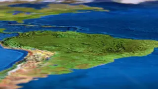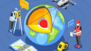
GIS Remote Sensing in ArcGIS: Comprehensive Techniques for Spatial Analysis
Course Line On Demand
100% Online | 2025 Updated | Cheapest Fees | No Hidden Fees | Free PDF Certificate | 24/7 Support
- Online
- 1 hour · Self-paced
- Certificate(s) included
- Tutor support
Great service
...background and hands-on exercises, this course prepares you to utilise GIS technology confidently in professional contexts. Certification: Upon successful completion of the Award in Education and Training (AET) Level 3 Advanced Diploma course, learners receive an instant, free digital
…