
GIS: Geographic Information System Using ArcGIS
20 Courses Bundle | QLS Endorsed & CPD Certified Diploma | Free 20 CPD Certificates | 300 CPD Points | Lifetime Access
Summary
- CPD Quality Standard Certificate - Free
- Exam(s) / assessment(s) is included in price
- Tutor is available to students
Add to basket or enquire
Overview
“The Modern Mapper: Advanced GIS Skills for Professionals”
Are you ready to take your GIS skills to the next level and transform your career prospects? This comprehensive GIS bundle brings together 20 interconnected courses, offering a holistic learning experience that spans foundational topics. Each course is carefully designed to complement the others, providing essential technical GIS skills alongside complementary expertise in areas. Covering diverse yet interconnected topics ensures you develop a well-rounded understanding of GIS and its applications in fields.
The Modern Mapper: Advanced GIS Skills for Professionals is a CPD-accredited bundle designed to enhance your professional profile with globally recognized certification. For a limited time, enjoy an exclusive 80% discount and gain access to advanced GIS tools and techniques. Plus, with a 14-day money-back guarantee, you can embark on this transformative learning journey completely risk-free!
Enhance your professional opportunities with the CPD-accredited & QLS-endorsed GIS Training bundle, crafted to advance your skills in geospatial analysis, cartography, and spatial data management. Whether your goal is to thrive in fields like urban development, environmental science, location intelligence, or geospatial consulting, this all-encompassing program will distinguish you from the competition and equip you for a thriving career in the ever-expanding GIS sector.
Course We Offer :
Following are the 20 CPD-accredited courses included in GIS: Geographic Information System Using ArcGIS bundle:
- Course 01: The Basics of ArcGIS for Hydrology
- Course 02: Spatial Analysis in ArcGIS
- Course 03: Remote Sensing in ArcGIS
- Course 04: Geospatial Technology, Remote Sensing and Web Mapping
- Course 05: Archaeology
- Course 06: Geology Diploma Course
- Course 07: QGIS Cartography
- Course 08: Building Big Data Pipelines with PySpark MongoDB and Bokeh
- Course 09: Machine Learning for Predictive Maps in Python and Leaflet
- Course 10: Project Management
- Course 11: IT: Ethical Hacking, IT Security and IT Cyber Attacking
- Course 12: CompTIA Network
- Course 13: Web Application Penetration Testing Course
- Course 14: Computer Science with Python Course
- Course 15: Energy Engineering and Sustainable Energy Diploma
- Course 16: Career Development Plan Fundamentals
- Course 17: CV Writing and Job Searching
- Course 18: Networking Skills for Personal Success
- Course 19: Ace Your Presentations: Public Speaking Masterclass
- Course 20: Learn to Level Up Your Leadership
Key Highlights:
- 14 Days Money-Back Guarantee – Learn risk-free with complete confidence.
- QLS Endorsed Training – Gain recognition for your professional development.
- CPD Accredited Training – Earn industry-recognised credentials.
- 20 Free CPD Certificates – Showcase your expertise with verified certifications.
- Lifetime Access to All Courses – Learn at your own pace, anytime, forever.
- 24/7 Tutor Support – Get expert guidance whenever you need it.
- Self-Paced Learning Platform – Study flexibly to suit your schedule.
“Discover the power of GIS—your future in mapping begins here! Enrol now!”
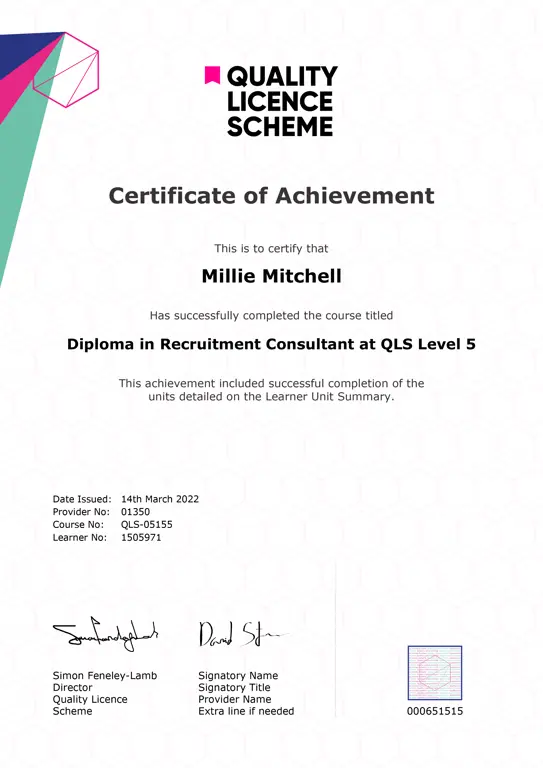
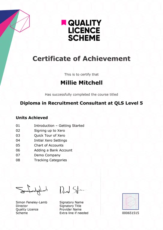
Achievement
Certificates
CPD Quality Standard Certificate
Digital certificate - Included
CPD
Course media
Description
Detailed descriptions of GIS: Geographic Information System Using ArcGIS CPD-accredited bundle
- Course 01: The Basics of ArcGIS for Hydrology – Learn the essentials of using ArcGIS to analyze hydrological systems and manage water resources effectively.
- Course 02: Spatial Analysis in ArcGIS – Master GIS spatial analysis techniques to uncover patterns and trends in geographic data.
- Course 03: Remote Sensing in ArcGIS – Explore how remote sensing integrates with ArcGIS for advanced geospatial analysis and mapping.
- Course 04: Geospatial Technology, Remote Sensing and Web Mapping – Understand the combined power of GIS, remote sensing, and web mapping technologies.
- Course 05: Archaeology – Apply GIS to archaeological research and site mapping for historical and cultural preservation.
- Course 06: Geology Diploma Course – Gain a solid foundation in geology with GIS applications for earth sciences.
- Course 07: QGIS Cartography – Learn to create stunning maps and perform GIS tasks using QGIS, an open-source tool.
- Course 08: Building Big Data Pipelines with PySpark MongoDB and Bokeh – Design big data solutions with GIS integrations using modern technologies.
- Course 09: Machine Learning for Predictive Maps in Python and Leaflet – Use machine learning techniques to build GIS predictive models and interactive maps.
- Course 10: Project Management – Enhance your project management skills with methodologies applicable to GIS projects.
- Course 11: IT: Ethical Hacking, IT Security and IT Cyber Attacking – Dive into cybersecurity practices relevant to GIS and IT systems.
- Course 12: CompTIA Network – Develop networking skills with a focus on IT infrastructure supporting GIS operations.
- Course 13: Web Application Penetration Testing Course – Learn to secure GIS web applications by identifying and mitigating vulnerabilities.
- Course 14: Computer Science with Python Course – Build foundational Python programming skills for use in GIS and data analysis.
- Course 15: Energy Engineering and Sustainable Energy Diploma – Explore sustainable energy solutions with GIS-based environmental assessments.
- Course 16: Career Development Plan Fundamentals – Create a strategic plan for career growth, including GIS-related career paths.
- Course 17: CV Writing and Job Searching – Learn how to craft a standout resume and job search strategy in the GIS industry.
- Course 18: Networking Skills for Personal Success – Develop networking skills crucial for advancing in GIS and related fields.
- Course 19: Ace Your Presentations: Public Speaking Masterclass – Improve public speaking skills to present GIS findings effectively.
- Course 20: Learn to Level Up Your Leadership – Build leadership skills to manage GIS projects and teams with confidence.
Please Note: NextGen Learning is a Compliance Central approved resale partner for Quality Licence Scheme Endorsed courses.
Who is this course for?
The GIS: Geographic Information System Using ArcGIS bundle is perfectly suited for:
- Students and professionals in environmental sciences, geography, and geology.
- Hydrologists, geologists, and archaeologists seeking geospatial analysis skills.
- GIS and remote sensing specialists aiming to expand their expertise.
- Data analysts and developers working with geospatial or big data technologies.
- Professionals in IT, cybersecurity, and ethical hacking fields.
- Researchers and academics leveraging GIS, machine learning, or spatial analysis.
- Engineers and project managers focusing on sustainable energy and technology.
- Enthusiasts exploring practical applications of GIS, programming, or energy systems.
Requirements
The GIS: Geographic Information System Using ArcGIS bundle requires no prior degree or experience.
Career path
Completing the GIS: Geographic Information System Using ArcGIS bundle opens the door to career opportunities, enabling individuals to pursue roles such as:
- Hydrology Data Specialist
- Spatial Data Scientist
- Remote Sensing Analyst
- Geospatial Developer
- Archaeological Surveyor
- Exploration Geologist
- Data Pipeline Engineer
- Predictive GIS Analyst
- Environmental Consultant
- Renewable Energy Specialist
Questions and answers
Currently there are no Q&As for this course. Be the first to ask a question.
Reviews
Currently there are no reviews for this course. Be the first to leave a review.
Provider
NextGen Learning is an online platform that provides futuristic learning solutions for ambitious, forward-thinking individuals who strive to improve themselves.
We are dedicated to providing quality training programs and making education accessible and affordable to all. We offer a variety of courses on different subjects designed for varying levels of learners. Therefore, there is something for everyone at NextGen Learning. In this training platform, learners get the opportunity to develop their knowledge, skills, and ability and gain confidence.
At NextGen Learning, the students have the freedom to complete their chosen courses at their convenient time and place. This is why our courses are effective in helping individuals reach their learning goals.
Here at Nextgen Learning, learners don’t have to wait for their certification. After they successfully complete the final assessment, the certificate will be sent to them immediately. This certificate will add significant value to their resume. That is why NextGen Learning is ideal for developing skills and facilitating career goals.

Add to basket or enquire
Legal information
This course is advertised on Reed.co.uk by the Course Provider, whose terms and conditions apply. Purchases are made directly from the Course Provider, and as such, content and materials are supplied by the Course Provider directly. Reed is acting as agent and not reseller in relation to this course. Reed's only responsibility is to facilitate your payment for the course. It is your responsibility to review and agree to the Course Provider's terms and conditions and satisfy yourself as to the suitability of the course you intend to purchase. Reed will not have any responsibility for the content of the course and/or associated materials.
