Price
£110 inc VAT
Or £36.67/mo. for 3 months...
Study method
Online
Course format What's this?
Video
Duration
35 hours · Self-paced
Access to content
Lifetime access
Qualification
No formal qualification
CPD
110 CPD hours / points
CPD
What's this?
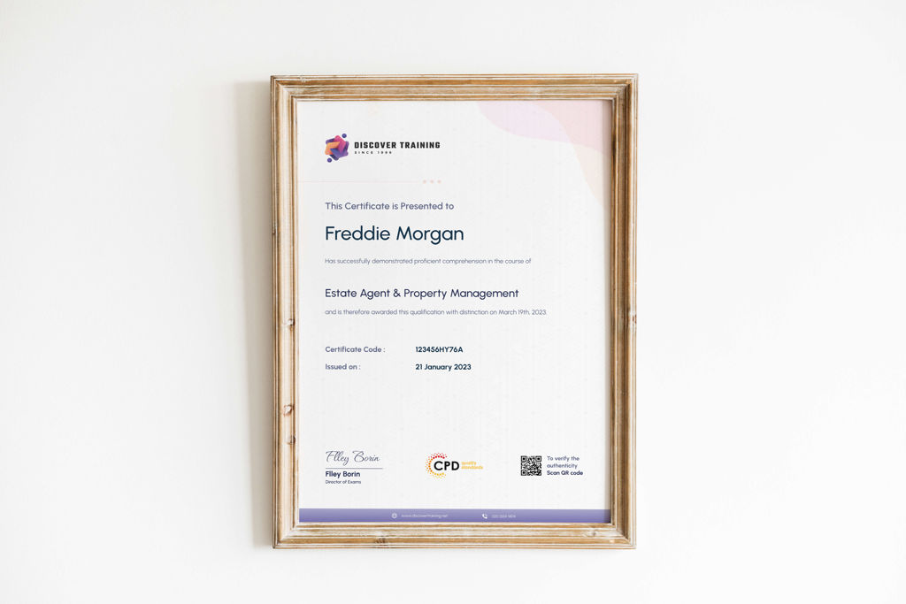
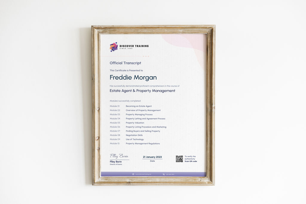
Certificates
- Certificate of completion - Digital certificate - Free
- Certificate of completion - Hard copy certificate - Free
Additional info
- Exam(s) / assessment(s) is included in price
- Tutor is available to students