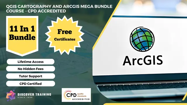
QGIS Cartography and ArcGIS Mega Bundle Course - CPD Accredited
11 -in-1 Cost Effective Bundle | CPD Accredited | Free PDF & Hardcopy Certificates | 110 CPD Points | Lifetime Access
Discover Training
Summary
- Certificate of completion - Digital certificate - Free
- Certificate of completion - Hard copy certificate - Free
- Exam(s) / assessment(s) is included in price
- Tutor is available to students
Add to basket or enquire
Overview
***Rapid Growth Awaits! Seize the Limited-Time Opportunity, Act Now!***
Immerse yourself in the world of Geographic Information Systems (GIS) with our CPD Accredited QGIS Cartography and ArcGIS Mega Bundle. This extensive collection of courses empowers you with the expertise to harness the power of QGIS and ArcGIS for advanced spatial analysis, cartography, hydrology, data visualization, and more. Whether you're a GIS professional, environmental scientist, or aspiring data analyst, this bundle equips you with the tools to create smart maps, perform spatial data analysis, and visualize insights using Python and GIS software.
This QGIS Cartography and ArcGIS Mega Bundle Course - CPD Accredited Consists of the Following Courses:
- ⊱⊱ Course 01: QGIS Cartography
- ⊱⊱ Course 02: ArcGIS for Hydrology
- ⊱⊱ Course 03: Maps in R Shiny and Leaflet
- ⊱⊱ Course 04: Python Data Science
- ⊱⊱ Course 05: Spatial Analysis in ArcGIS
- ⊱⊱ Course 06: Learn to Use Python for Spatial Analysis in ArcGIS
- ⊱⊱ Course 07: The Basics of ArcGIS for Hydrology
- ⊱⊱ Course 08: Remote Sensing in ArcGIS
- ⊱⊱ Course 09: Create Smart Maps in Python and Leaflet Level 3
- ⊱⊱ Course 10: Web Scraping and Mapping Dam Levels in Python and Leaflet Level 4
- ⊱⊱ Course 11: Spatial Data Visualization and Machine Learning in Python Level 4
Learning Outcomes:
By completing the QGIS Cartography and ArcGIS Mega Bundle Course, you will be able to:
- Create captivating maps using QGIS, employing effective cartography techniques.
- Perform hydrological analysis in ArcGIS, understanding water management concepts.
- Visualize data using R Shiny and Leaflet, crafting interactive maps for insights.
- Employ Python for data science, from analysis to machine learning.
- Master advanced spatial analysis in ArcGIS, uncovering hidden patterns and relationships.
- Combine Python with ArcGIS for enhanced spatial analysis capabilities.
- Understand hydrological basics in ArcGIS, laying the groundwork for in-depth analysis.
- Utilize remote sensing techniques in ArcGIS for image analysis and interpretation.
- Develop dynamic smart maps using Python and Leaflet, enhancing data visualization.
- Combine web scraping and mapping in Python and Leaflet for real-time data insights.
- Leverage spatial data visualization and machine learning in Python for actionable insights.
Enhance your GIS expertise and advance your career with comprehensive QGIS and ArcGIS skills. Enroll now to master geospatial analysis, cartography, and data visualization in the world of GIS.
What Will Make You Stand Out?
On Completion of this QGIS Cartography and ArcGIS Mega Bundle Course - CPD Accredited online course, you'll acquire:
- 11 Free Certificates.
- CPD QS Accredited Course.
- Upon Course Completion, Earn a Complimentary PDF and a Hard Copy Certificate to Showcase Your Enhanced Skills.
- Lifetime access.
- 24x7 Tutor Support.
- Complete the course at your own pace.
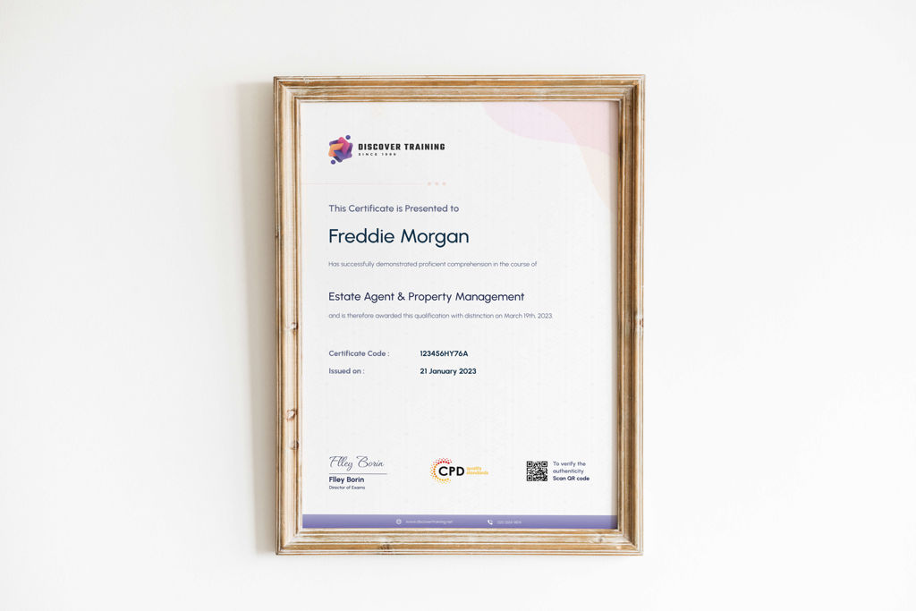
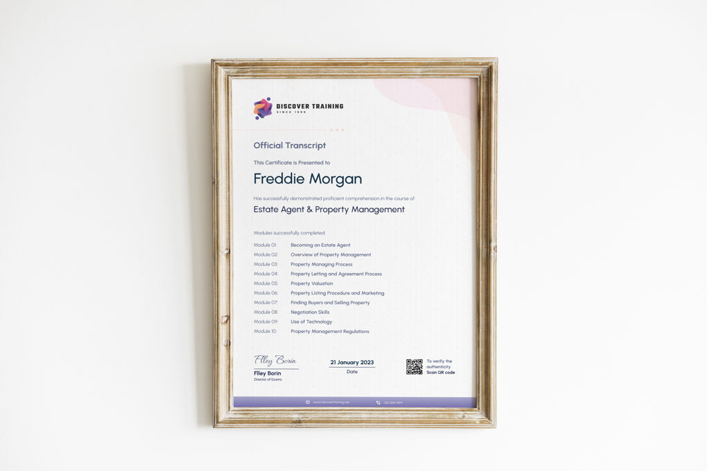
Certificates
Certificate of completion - Digital certificate
Digital certificate - Included
Certificate of completion - Hard copy certificate
Hard copy certificate - Included
Upon successful completion of the QGIS Cartography and ArcGIS Mega Bundle Course - CPD Accredited, learners can obtain a PDF certificate and a hard copy certificate for completely free. A nominal fee of £5.99 covers the delivery charge within the United Kingdom. Additional delivery charges may apply for orders outside the United Kingdom.
CPD
Course media


Description
Course 01: QGIS Cartography
Unlock the art of creating compelling maps using QGIS, enhancing your cartography skills.
Course 02: ArcGIS for Hydrology
Dive deep into hydrological analysis using ArcGIS, understanding water flow and management.
Course 03: Maps in R Shiny and Leaflet
Explore data visualization using R Shiny and Leaflet, creating interactive maps for insights.
Course 04: Python Data Science
Harness Python's power for data science, from data analysis to machine learning algorithms.
Course 05: Spatial Analysis in ArcGIS
Master advanced spatial analysis techniques using ArcGIS, uncovering hidden insights.
Course 06: Learn to Use Python for Spatial Analysis in ArcGIS
Combine Python with ArcGIS for spatial analysis, enhancing your geospatial capabilities.
Course 07: The Basics of ArcGIS for Hydrology
Build a foundation in hydrological analysis using ArcGIS, understanding key concepts.
Course 08: Remote Sensing in ArcGIS
Explore remote sensing techniques within ArcGIS, extracting information from imagery.
Course 09: Create Smart Maps in Python and Leaflet Level 3
Enhance your smart mapping skills using Python and Leaflet, creating dynamic visuals.
Course 10: Web Scraping and Mapping Dam Levels in Python and Leaflet Level 4
Combine web scraping with mapping in Python and Leaflet, visualizing real-time data.
Course 11: Spatial Data Visualization and Machine Learning in Python Level 4
Master spatial data visualization and machine learning in Python, unlocking powerful insights.
⊱⊱ Course Curriculum ⊰⊰
⊱⊱ QGIS Cartography ⊰⊰
Section 01: Introduction
- Introduction
Section 02: Labels
- Labeling Basics
- Labeling – Text Properties
- Label Formatting
- Label Buffers
- Labels – Backgrounds
- Label Shadows
- Labeling Callouts (Leader Lines)
- Labels – Placement
- Labels – Rendering
- Labeling Over Orthos
- Fine Tuning Labels
Section 03: Symbology
- Styling Single Points Lines and Polygons
- Styling Categorical Data
- Styling Graduated Data
- Shapeburst Fills
- Texture Fills
- Inverted Polygons
- Advanced Lines
Section 04: Base Layers
- XYZ Tile Basemaps
- Getting Data from the OSM Website
- Getting Basemaps from the QuickMapServices Plugins
- Getting OSM Data with Overpass Turbo
- Rule Based Symbology
- Rule Based Labeling
- Bringing in Mapbox Baselayers (an Introduction)
- Natural Earth Data
Section 05: Project Setup
- Setting Up a Page Layout
- Layout Templates
- Creating Map Grids (Lat & Long Graticules)
- Inset or Overview Maps
- Global Overview Maps
- Adding a Legend
- Adding Text to a Layout
- Adding Images
Section 06: Water Styling
- Coastal Glow Effect
- Concentric Water Lines (Equally Spaced)
- Concentric Water Lines (Variably Spaced)
- Tone Coastal Fill Pattern
Section 07: Land Styling
- Getting DEMs from USDA/NRCS
- Creating Contour Lines from DEMs (in Feet and Meters)
- Labeling Contour Lines
- Drop Shadowing Polygon Features
Section 08: Resources
- Resources
Who is this course for?
Is This the Perfect Course for You?
This QGIS Cartography and ArcGIS Mega Bundle Course - CPD Accredited is inclusive and accessible to individuals from diverse backgrounds. It specifically caters to those with a keen interest in the relevant sectors. Join us to expand your knowledge and excel in your chosen field.
Requirements
No formal requirements are needed! Enrol effortlessly in this QGIS Cartography and ArcGIS Mega Bundle Course - CPD Accredited today. All you need is a device with internet access, and you're all set to embark on your learning journey. Enjoy the flexibility of completing the course at your own pace.
Career path
- GIS Technician: £30,000-£40,000 per year
- Cartographer: £35,000-£45,000 per year
- GIS Analyst: £40,000-£50,000 per year
- GIS Specialist: £45,000-£55,000 per year
- GIS Consultant: £50,000-£60,000 per year
- GIS Manager: £55,000-£70,000 per year
- GIS Developer: £60,000-£80,000 per year
- Geospatial Data Scientist: £70,000-£90,000 per year
- GIS Project Manager: £75,000-£100,000+ per year
Questions and answers
Currently there are no Q&As for this course. Be the first to ask a question.
Reviews
Currently there are no reviews for this course. Be the first to leave a review.
Add to basket or enquire
Course provided by
Legal information
This course is advertised on reed.co.uk by the Course Provider, whose terms and conditions apply. Purchases are made directly from the Course Provider, and as such, content and materials are supplied by the Course Provider directly. Reed is acting as agent and not reseller in relation to this course. Reed's only responsibility is to facilitate your payment for the course. It is your responsibility to review and agree to the Course Provider's terms and conditions and satisfy yourself as to the suitability of the course you intend to purchase. Reed will not have any responsibility for the content of the course and/or associated materials.
