
Land Surveying Methods and Techniques
Level 3 Endorsed Certificate | CPD UK Certified | 120 CPD Points | Exam & Full Tutor Support Included | 24x7 Access
One Education
Summary
- Certificate of completion - £9
- Certificate of completion - £79
- Exam(s) / assessment(s) is included in price
- Tutor is available to students
Add to basket or enquire
Overview
Land surveying has been around for centuries and is still essential to everyday life. Land surveying involves using specialised tools and techniques to measure and map land, and it is used in various applications, such as construction, engineering, and land management.
Land surveying begins with specialised tools, such as total stations, GPS receivers, and theodolites, to measure and map the land. These tools are used to measure angles, distances, and elevations and can also be used to create detailed maps of the land. Once the measurements have been taken, the surveyor will use specialised software to analyse the data and create a map of the land.
A career in land surveying can be rewarding for individuals interested in math, science, and working outdoors. Land surveyors are responsible for determining the location, size, and boundaries of land and property, and they use a range of tools and techniques to measure and map the land.
Learning Outcomes:
- Learn about surveying, different instruments, and potential errors
- Linear measurement methods and methods of transmission
- Understand levation measurement and the contour development process
- To comprehend and learn how to perform Plane table surveying
- Define surveying, remote sensing, and geomatics principles
- Describe various instruments, tools, applications, and techniques for determining positions on the earth's surface and detecting changes
- Surveying using Liner measurement methods
- Distinguish between the techniques for laying out alignments, curves, other layouts, modern survey systems, etc.
- To conduct an elevation survey and a Plane Table Survey
Expert Support
Dedicated tutor support and 24/7 customer support are available to all students with this premium quality course.
Key Benefits
- Learning materials of the Design course contain engaging voiceover and visual elements for your comfort.
- Get 24/7 access to all content for a full year.
- Each of our students gets full tutor support on weekdays (Monday to Friday)
Achievement
Certificates
Certificate of completion
Digital certificate - £9
Certificate of completion
Hard copy certificate - £79
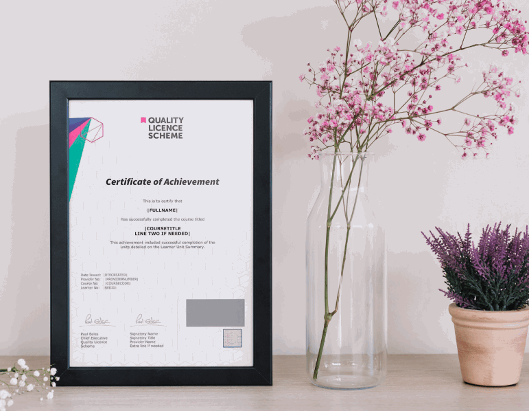
QLS Endorsed Certificate
Hardcopy of this certificate of achievement endorsed by the Quality Licence Scheme can be ordered and received straight to your home by post, by paying —
- Within the UK: £79
- International: £79 + £10 (postal charge) = £89
CPD Certification Service Accredited Certification
- Hardcopy Certificate (within the UK): £15
- Hardcopy Certificate (international): £15 + £10 (postal charge) = £25
CPD
Course media
Description
Course Curriculum:
- Introduction to Land Surveying
- Land Surveying Basics
- Land Surveying Instrumentation
- Land Surveying Methods and Techniques
- Topographic Surveying and Mapping
- Boundary Surveying
- Surveying Health and Safety
Meet the Endorsement
The Quality Licence Scheme has been designed specifically to recognise high-quality courses. This Land Surveying course materials are recognised by Quality Licence Scheme (QLS). This ensures the deep research and quality resource allocation behind the development phase of the course. In addition, the QLS certificate enriches your CV and recognises your quality study on the relevant subject.
Meet the Accreditation
The CPD Certification Service (CPD UK) assure the Land Surveying Course training and learning activities are relevant, reliable, and upto date.
Course Assessment
To simplify the procedure of evaluation and accreditation for learners, we provide an automated assessment system. Upon completion of an online module, you will immediately be given access to a specifically crafted MCQ test. The results will be evaluated instantly, and the score will be displayed for your perusal. For each test, the pass mark will be set to 60%.
When all tests have been successfully passed, you will be able to order a certificate endorsed by the Quality Licence Scheme.
Who is this course for?
- Beginner
- Technicians, technologists, and professionals in surveying, civil engineering, and related fields who want to increase their productivity and skills in this field
- Anyone interested in learning how to design linear works and topography projects
Requirements
This Land Surveying course is open to all, with no formal entry requirements.
Career path
- Land surveyor: £20,000 to £50,000
- Surveying Technician: £18,000 to £28,000
- Geographic Information Systems (GIS) surveyor: £20,000 to £50,000
- Geomatics Surveyor: £20,000 to £50,000
Questions and answers
Currently there are no Q&As for this course. Be the first to ask a question.
Reviews
Currently there are no reviews for this course. Be the first to leave a review.

Add to basket or enquire
Course provided by
Legal information
This course is advertised on reed.co.uk by the Course Provider, whose terms and conditions apply. Purchases are made directly from the Course Provider, and as such, content and materials are supplied by the Course Provider directly. Reed is acting as agent and not reseller in relation to this course. Reed's only responsibility is to facilitate your payment for the course. It is your responsibility to review and agree to the Course Provider's terms and conditions and satisfy yourself as to the suitability of the course you intend to purchase. Reed will not have any responsibility for the content of the course and/or associated materials.
