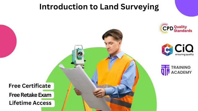
Introduction to Land Surveying
CPD Accredited | Free PDF & Hard Copy Certificate included | Free Retake Exam | Lifetime Access
Online Training Academy
Summary
- Digital certificate - Free
- Reed Courses Certificate of Completion - Free
- Tutor is available to students
Add to basket or enquire
Overview
Introduction to Land Surveying Course provides a foundational understanding of essential principles and techniques crucial in modern land management and development. In an ever-evolving landscape, proficient land surveyors play a pivotal role in ensuring accurate measurement, mapping, and delineation of land boundaries.
Mastery of Land Surveying methodologies, instrumentation, and safety protocols equips individuals with sought-after skills in the construction, real estate, and infrastructure sectors. In the UK job market, proficiency in Land Surveying opens doors to diverse career opportunities, with salaries ranging from £25,000 to £40,000 per annum, depending on experience and specialization.
The increasing demand for land surveyors, driven by urbanization and infrastructure projects, underscores the significance of this profession. According to recent statistics, the sector is witnessing a growth of approximately 8% annually, making Land Surveying a promising field for career advancement and professional fulfillment.
Key Features:
- CPD Certified Land Surveying Course
- Free Certificate from Reed
- CIQ Approved Land Surveying Course
- Developed by Specialist
- Lifetime Access
Certificates
Digital certificate
Digital certificate - Included
Reed Courses Certificate of Completion
Digital certificate - Included
Will be downloadable when all lectures have been completed.
CPD
Curriculum
Course media
Description
Course Curriculum:
- Module 01: Introduction to Land Surveying
- Module 02: Land Surveying Basics
- Module 03: Land Surveying Instrumentation
- Module 04: Land Surveying Methods and Techniques
- Module 05: Topographic Surveying and Mapping
- Module 06: Boundary Surveying
- Module 07: Surveying Health and Safety
Learning Outcomes:
- Understand principles and fundamentals of land surveying techniques.
- Demonstrate proficiency in using land surveying instruments effectively.
- Apply various methods and techniques for accurate land surveying tasks.
- Interpret topographic data and create precise mapping representations.
- Perform boundary surveys with accuracy and compliance to regulations.
- Implement health and safety protocols in land surveying operations.
Who is this course for?
This Introduction to Land Surveying course is accessible to anyone eager to learn more about this topic. Through this course, you'll gain a solid understanding of Introduction to Land Surveying. Moreover, this course is ideal for:
- Aspiring land surveyors seeking foundational knowledge in the field.
- Civil engineering students aiming to specialize in land surveying techniques.
- Construction professionals looking to enhance their surveying competencies.
- Environmental scientists interested in land mapping and topography analysis.
- Architects wanting to understand land surveying principles for site planning.
Requirements
There are no requirements needed to enrol into this Introduction to Land Surveying course. We welcome individuals from all backgrounds and levels of experience to enrol into this Introduction to Land Surveying course.
Career path
After finishing this Introduction to Land Surveying course you will have multiple job opportunities waiting for you. Some of the following Job sectors of Land Surveying are:
- Land Surveyor - £25K to 40K/year.
- Mapping Technician - £20K to 35K/year.
- Geomatics Surveyor - £26K to 45K/year.
- Cartographer - £22K to 40K/year.
- GIS Analyst - £25K to 45K/year.
Questions and answers
Currently there are no Q&As for this course. Be the first to ask a question.
Reviews
Currently there are no reviews for this course. Be the first to leave a review.
Legal information
This course is advertised on reed.co.uk by the Course Provider, whose terms and conditions apply. Purchases are made directly from the Course Provider, and as such, content and materials are supplied by the Course Provider directly. Reed is acting as agent and not reseller in relation to this course. Reed's only responsibility is to facilitate your payment for the course. It is your responsibility to review and agree to the Course Provider's terms and conditions and satisfy yourself as to the suitability of the course you intend to purchase. Reed will not have any responsibility for the content of the course and/or associated materials.


