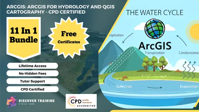
ArcGIS: ArcGIS for Hydrology and QGIS Cartography - CPD Certified
11 -in-1 Cost Effective Bundle | CPD Accredited | Free PDF & Hardcopy Certificates | 110 CPD Points | Lifetime Access
Discover Training
Summary
- Certificate of completion - Digital certificate - Free
- Certificate of completion - Hard copy certificate - Free
- Exam(s) / assessment(s) is included in price
- Tutor is available to students
Add to basket or enquire
Overview
***Rapid Growth Awaits! Seize the Limited-Time Opportunity, Act Now!***
Unleash your geospatial potential with our CPD-certified bundle. Navigate the dynamic landscapes of ArcGIS and QGIS, mastering hydrological analysis and cartography. From hydrological modeling to crafting captivating maps, this bundle immerses you in advanced geospatial techniques. Harness remote sensing, spatial data visualization, and machine learning to elevate your expertise. Gain CPD certification, recognition, and real-world skills essential for geospatial success. Embark on a transformative journey into the world of ArcGIS and QGIS, enhancing your career prospects and embracing the power of geospatial innovation.
This ArcGIS: ArcGIS for Hydrology and QGIS Cartography - CPD Certified Consists of the Following Courses:
- ⊱⊱ Course 01: ArcGIS for Hydrology
- ⊱⊱ Course 02: Spatial Analysis in ArcGIS
- ⊱⊱ Course 03: Web Scraping and Mapping Dam Levels in Python and Leaflet Level 4
- ⊱⊱ Course 04: Remote Sensing in ArcGIS
- ⊱⊱ Course 05: Maps in R Shiny and Leaflet
- ⊱⊱ Course 06: The Basics of ArcGIS for Hydrology
- ⊱⊱ Course 07: Business Intelligence and Data Mining Diploma
- ⊱⊱ Course 08: Create Smart Maps in Python and Leaflet Level 3
- ⊱⊱ Course 09: Python Data Science
- ⊱⊱ Course 10: QGIS Cartography
- ⊱⊱ Course 11: Spatial Data Visualization and Machine Learning in Python Level 4
Learning Outcomes:
By completing the Advanced Geospatial Skills - ArcGIS for Hydrology and QGIS Cartography - CPD Certified Course Bundle, you will:
- Master geospatial analysis using ArcGIS and QGIS.
- Apply spatial analysis methods to diverse datasets for informed decision-making.
- Create interactive maps with Python, R Shiny, and Leaflet for effective communication.
- Harness remote sensing data and machine learning techniques for advanced insights.
What Will Make You Stand Out?
On Completion of this ArcGIS: ArcGIS for Hydrology and QGIS Cartography - CPD Certified online course, you'll acquire:
- 11 Free Certificates.
- CPD QS Accredited Course.
- Upon Course Completion, Earn a Complimentary PDF and a Hard Copy Certificate to Showcase Your Enhanced Skills.
- Lifetime access.
- 24x7 Tutor Support.
- Complete the course at your own pace.
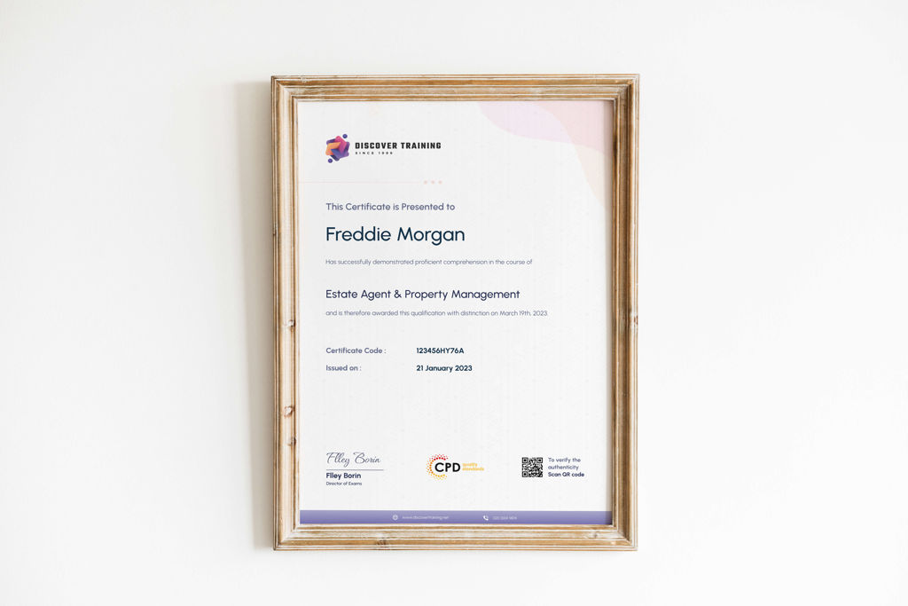
Certificates
Certificate of completion - Digital certificate
Digital certificate - Included
Certificate of completion - Hard copy certificate
Hard copy certificate - Included
Upon successful completion of the ArcGIS: ArcGIS for Hydrology and QGIS Cartography - CPD Certified, learners can obtain a PDF certificate and a hard copy certificate for completely free. A nominal fee of £5.99 covers the delivery charge within the United Kingdom. Additional delivery charges may apply for orders outside the United Kingdom.
CPD
Course media


Description
Course 01: ArcGIS for Hydrology
Learn hydrological analysis techniques using ArcGIS to manage water resources effectively.
Course 02: Spatial Analysis in ArcGIS
Explore advanced spatial analysis methods to uncover patterns and relationships in geographic data.
Course 03: Web Scraping and Mapping Dam Levels in Python and Leaflet Level 4
Combine Python programming and Leaflet mapping to scrape data and visualize dam levels.
Course 04: Remote Sensing in ArcGIS
Harness remote sensing data for environmental analysis and resource management using ArcGIS.
Course 05: Maps in R Shiny and Leaflet
Create interactive maps using R Shiny and Leaflet for effective data communication.
Course 06: The Basics of ArcGIS for Hydrology
Build a strong foundation in using ArcGIS for hydrological analysis and watershed modeling.
Course 07: Business Intelligence and Data Mining Diploma
Explore data mining techniques to extract valuable insights and support informed decision-making.
Course 08: Create Smart Maps in Python and Leaflet Level 3
Develop dynamic and intelligent maps using Python and Leaflet for advanced data visualization.
Course 09: Python Data Science
Gain proficiency in data analysis, visualization, and machine learning using Python.
Course 10: QGIS Cartography
Master cartographic techniques in QGIS for creating visually compelling maps.
Course 11: Spatial Data Visualization and Machine Learning in Python Level 4
Combine spatial data visualization with machine learning techniques using Python.
⊱⊱ Course Curriculum ⊰⊰
⊱⊱ ArcGIS for Hydrology ⊰⊰
Section 01: Introduction to ArcGIS software
- Introduction to ArcGIS software
- Selection by Location, attributes, clip features and tables to Excel
- Performing actions on the data: change the projections, dissolve, clip
- From .TXT and .DXF to shapefile
- Calculations with attribute table and KML files in ArcMap
- Export from ArcMap to PDF
- ArcScene 3D
- GIS Example Test
- AutoCAD fixing polygon coordinates
Section 02: ArcGIS for Hydrology
- Download hydrological data
- Calculate flow direction and flow accumulation
- Watershed delineation
- Clip layers to watershed boundary
- Stream segments and catchments areas
- Stream order convert to vector
- Spatial join to catchments
- Join stream id to stream order
- Map data and initial layout
- Add and format map elements
Who is this course for?
Is This the Perfect Course for You?
This ArcGIS: ArcGIS for Hydrology and QGIS Cartography - CPD Certified is inclusive and accessible to individuals from diverse backgrounds. It specifically caters to those with a keen interest in the relevant sectors. Join us to expand your knowledge and excel in your chosen field.
Requirements
No formal requirements are needed! Enrol effortlessly in this ArcGIS: ArcGIS for Hydrology and QGIS Cartography - CPD Certified today. All you need is a device with internet access, and you're all set to embark on your learning journey. Enjoy the flexibility of completing the course at your own pace.
Career path
- Hydrology GIS Technician: £35,000-£45,000 per year
- GIS Analyst (Hydrology): £40,000-£50,000 per year
- Cartographer (QGIS): £40,000-£50,000 per year
- GIS Specialist (Hydrology): £45,000-£55,000 per year
- Hydrologist: £50,000-£60,000 per year
- GIS Consultant (Hydrology): £55,000-£65,000 per year
- GIS Manager (Hydrology): £60,000-£75,000 per year
Questions and answers
Currently there are no Q&As for this course. Be the first to ask a question.
Reviews
Currently there are no reviews for this course. Be the first to leave a review.

Add to basket or enquire
Course provided by
Legal information
This course is advertised on reed.co.uk by the Course Provider, whose terms and conditions apply. Purchases are made directly from the Course Provider, and as such, content and materials are supplied by the Course Provider directly. Reed is acting as agent and not reseller in relation to this course. Reed's only responsibility is to facilitate your payment for the course. It is your responsibility to review and agree to the Course Provider's terms and conditions and satisfy yourself as to the suitability of the course you intend to purchase. Reed will not have any responsibility for the content of the course and/or associated materials.
