
Introduction to Geospatial Technology
CPD Accredited | Free PDF & Hard Copy Certificate included | Free Retake Exam | Lifetime Access
Training Express Ltd
Summary
- Digital certificate - Free
- Hard copy certificate - Free
- Exam(s) / assessment(s) is included in price
- Tutor is available to students
Add to basket or enquire
Overview
The Global Positioning System (GPS), which is a crucial component of geospatial technology, was initially developed by the United States Department of Defense for military purposes. However, it was made available for civilian use in the 1980s, leading to the widespread adoption of GPS in various applications, including navigation, mapping, and location-based services. In this immersive exploration, you'll traverse the ever-evolving landscape of Geographic Information Systems (GIS) Basics, decoding the mysteries that lie beneath the surface.
As you navigate the cartographic voyage, you'll master the art of Spatial Data Management, where each data point becomes a beacon in the vast expanse of possibilities. Seamlessly transition into the realm of Spatial Analysis Techniques, where patterns unfold and insights emerge. Elevate your perspective with Remote Sensing and Imagery, as you decipher the language of pixels that paint a vivid portrait of our planet.
But it doesn't end there. Immerse yourself in the arcane arts of Geospatial Programming and Automation, sculpting a future where innovation and efficiency dance hand in hand. Finally, witness the real-world impact as you unravel GIS Applications and Real-World Projects, where theory seamlessly converges with practice. Unleash the power of Geospatial Technology, and become the architect of change in a world shaped by the fusion of geography and technology.
Key Features
- CPD Accredited
- FREE PDF + Hardcopy certificate
- Fully online, interactive course
- Self-paced learning and laptop, tablet and smartphone-friendly
- 24/7 Learning Assistance
- Discounts on bulk purchases
Certificates
Digital certificate
Digital certificate - Included
Once you’ve successfully completed your course, you will immediately be sent a FREE digital certificate.
Hard copy certificate
Hard copy certificate - Included
Also, you can have your FREE printed certificate delivered by post (shipping cost £3.99 in the UK).
For all international addresses outside of the United Kingdom, the delivery fee for a hardcopy certificate will be only £10.
Our certifications have no expiry dates, although we do recommend that you renew them every 12 months.
CPD
Course media


Resources
- Training Express Brochure - download
Description
Course Curriculum
- Module 01: Introduction to Geospatial Technology
- Module 02: Geographic Information Systems (GIS) Basics
- Module 03: Spatial Data Management
- Module 04: Spatial Analysis Techniques
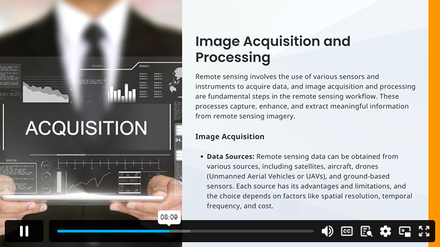
- Module 05: Remote Sensing and Imagery
- Module 06: Web-Based Mapping and Visualisation
- Module 07: Geospatial Programming and Automation
- Module 08: GIS Applications and Real-World Projects
Learning Outcomes:
- Master principles shaping Geospatial Technology for informed decision-making in diverse sectors.
- Apply Geographic Information Systems (GIS) basics proficiently for spatial data analysis.
- Demonstrate expertise in efficient Spatial Data Management for effective information handling.
- Utilise advanced Spatial Analysis Techniques to extract meaningful insights from geospatial data.
- Interpret Remote Sensing and Imagery, harnessing pixel-based information for analysis.
- Create compelling Web-Based Maps and Visualisations to communicate geospatial information effectively.
Accreditation
This course is CPD Quality Standards (CPD QS) accredited, providing you with up-to-date skills and knowledge and helping you to become more competent and effective in your chosen field.
Certificate
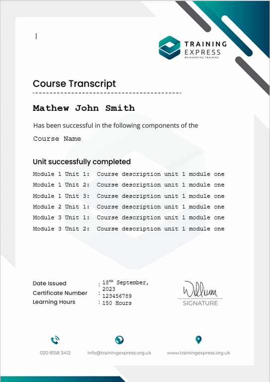
After completing this course, you will get a FREE Digital Certificate from Training Express.
Who is this course for?
- Aspiring GIS Analysts seeking foundational geospatial knowledge.
- Data Scientists aiming to enhance spatial analysis skills.
- Environmental Scientists interested in geospatial applications.
- IT Professionals exploring geospatial programming and automation.
- Urban Planners desiring a comprehensive understanding of spatial data.
Career path
- GIS Analyst
- Spatial Data Scientist
- Environmental Consultant
- Web Mapping Developer
- Geospatial Programmer
- Urban Planning Officer
Questions and answers
Currently there are no Q&As for this course. Be the first to ask a question.
Reviews
Currently there are no reviews for this course. Be the first to leave a review.

Add to basket or enquire
Course provided by
Legal information
This course is advertised on reed.co.uk by the Course Provider, whose terms and conditions apply. Purchases are made directly from the Course Provider, and as such, content and materials are supplied by the Course Provider directly. Reed is acting as agent and not reseller in relation to this course. Reed's only responsibility is to facilitate your payment for the course. It is your responsibility to review and agree to the Course Provider's terms and conditions and satisfy yourself as to the suitability of the course you intend to purchase. Reed will not have any responsibility for the content of the course and/or associated materials.
