
Create Smart Maps in Python and Leaflet - Level 4 (QLS Endorsed)
QLS Endorsed + CPD QS Accredited - Dual Certification | Instant Access | 24/7 Tutor Support
Kingston Open College
Summary
- Diploma in Create Smart Maps in Python and Leaflet at QLS Level 4 - £75
- Exam(s) / assessment(s) not included in price, and must be purchased separately
- Tutor is available to students
- TOTUM card available but not included in price What's this?
Add to basket or enquire
Overview
Gaining proficiency with innovative maps is an industry-wide skill set in an age of data-driven decision-making. Learning to use Python and Leaflet to create intelligent maps is a skill that can lead to creative applications in various fields. We are therefore happy to provide you with our QLS-approved course, “Build Smart Maps with Python and Leaflet.” With the help of this course, participants will gain practical knowledge of front-end development with Leaflet.js, spatial databases, and GeoDjango applications.
This course explores the GeoDjango environment and teaches students how to write the back-end programming that drives spatial applications. Lessons that build the front end with Leaflet.js, a potent JavaScript library for interactive maps, continue the journey. The course culminates in a section where students add data to their intelligent maps, putting the knowledge they have learned to use in a real-world project that tests and solidifies their comprehension.
This course has everything from learning the fundamentals of Python to delving deeply into data management. You’ll know how to solve challenges in the real world with a curriculum that is comprehensive and places a strong emphasis on experiential learning. Whether your goal is to work in data analysis or software development or you want to improve your problem-solving skills, this course gives you the tools to be successful. Please don’t pass up this chance to start your career from scratch and advance it.
So, take your time! Explore the region where geography and data collide, and allow your innovations to transform our information use. Become a leader in spatial data innovation by enrolling in Create Smart Maps in Python and Leaflet today!
Learning Outcome:
By studying the “Creating Smart Maps in Python and Leaflet” course you will be able to:
- Use PostgreSQL and PostGIS for spatial databases
- Develop GeoDjango applications
- Write efficient GeoDjango backend code
- Create interactive maps with Leaflet.js
- Integrate diverse datasets into applications
- Apply skills in a comprehensive brilliant map assignment
Why Learn to Create Smart Maps in Python and Leaflet with us?
As one of the leading e-learning service providers globally, we strive to provide all our learners with the best e-learning experience possible that can make a real difference in their career progression.
Our Service for “Creating Smart Maps in Python and Leaflet” course:
- Intensive Study Notes
- Tutor Support
- Customer Support
- Teaching Assistant Assignment Help
- QLS Endorsed Teaching Assistant Certificate
- 24/7 Learning Portal Access
- Widely Compatible Teaching Assistant Study Materials
- 14 Days Refund Guarantee
Achievement
Certificates
Diploma in Create Smart Maps in Python and Leaflet at QLS Level 4
Hard copy certificate - £75
CPD
Course media


Description
Course Curriculum of the “Create Smart Maps in Python and Leaflet” course
- Section 01: Introduction
- Section 02: Building a Spatial Database using PostgreSQL and PostGIS
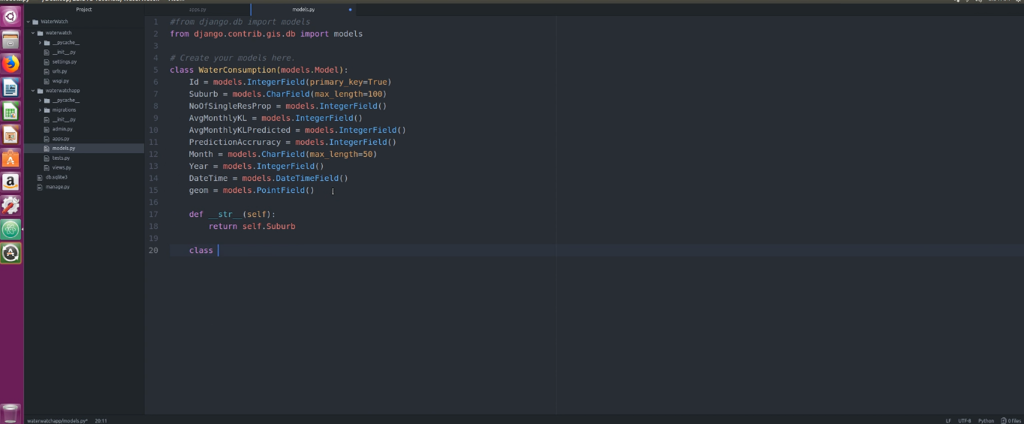
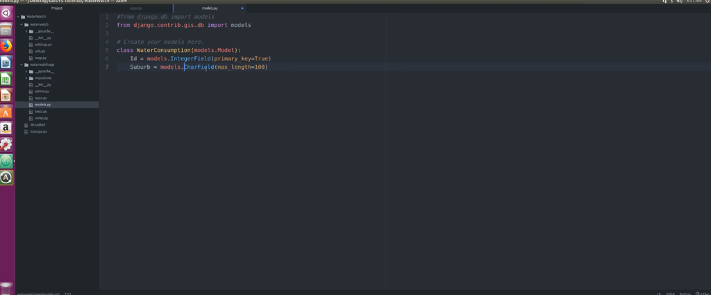
- Section 03: Building a GeoDjango Application
- Section 04: Writing the GeoDjango Back-end Code
- Section 05: Building the Front End using Leaflet.js
- Section 06: Adding the Data
Assessment & Certification
Students must finish and turn in a thorough assignment covering all topics in our curriculum. Our expert tutor will review the assignment to ensure it meets Quality Learning Systems (QLS) standards. Once the assessment is successful and passes a quality check, students will be awarded a certificate for completing the Create Smart Maps in Python and Leaflet Course.
Endorsed Certificate of Achievement from the Quality Licence Scheme.
After the course, participants will receive an endorsed certificate as proof of successful completion. The learner may request a certificate if they complete all course assessments.
Endorsement:
QLS approves this certified course as a well-qualified training programme. A trainer will be available to address your inquiries, including guidance on your pathways to higher education.
Who is this course for?
Create Smart Maps in Python and Leaflet course is designed to assist a wide range of professionals. Such as:
- Web Developers
- Data Scientists
- GIS Professionals
- Software Engineers
- Database Administrators
- Python Developers
- Geospatial Analysts
- Computer Science Students
- Urban Planners
- Tech Enthusiasts
Requirements
No specific requirements exist for enrolling in the “Create Smart Maps in Python and Leaflet”course. Therefore, learners do not need previous qualifications to sign up for this course.
Career path
The “Create Smart Maps in Python and Leaflet” course is related to lots of trending job roles as follows:
- Geospatial Developer: £25,000 - £50,000 per year
- Database Administrator (Spatial Database): £30,000 - £60,000 per year
- Web GIS Developer: £25,000 - £50,000 per year
- GIS Consultant: £30,000 - £70,000 per year
- Geospatial Engineer: £25,000 - £55,000 per year
Questions and answers
Currently there are no Q&As for this course. Be the first to ask a question.
Reviews
Currently there are no reviews for this course. Be the first to leave a review.

Add to basket or enquire
Course provided by
Legal information
This course is advertised on reed.co.uk by the Course Provider, whose terms and conditions apply. Purchases are made directly from the Course Provider, and as such, content and materials are supplied by the Course Provider directly. Reed is acting as agent and not reseller in relation to this course. Reed's only responsibility is to facilitate your payment for the course. It is your responsibility to review and agree to the Course Provider's terms and conditions and satisfy yourself as to the suitability of the course you intend to purchase. Reed will not have any responsibility for the content of the course and/or associated materials.
